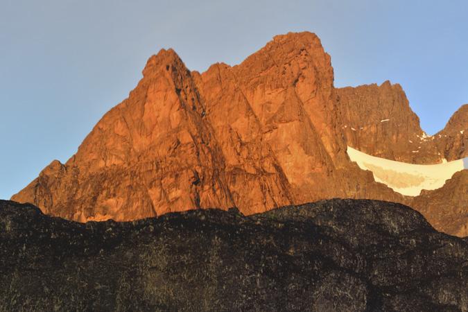
The oldest recorded person to reach Margherita Peak was Ms Beryl Park aged 78 in 2010.
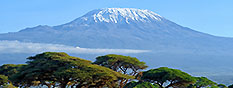
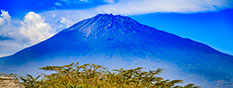
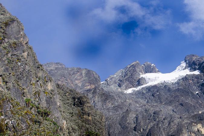
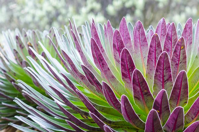
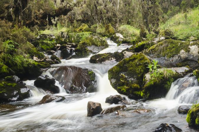
The Rwenzoris – the fabled Mountains of the Moon – lie in western Uganda along the Uganda-Congo border. The equatorial snow peaks include the third highest point in Africa, while the lower slopes are blanketed in moorland, bamboo and rich, moist montane forest. Huge tree-heathers and colorful mosses are draped across the mountainside with giant lobelias and “everlasting flowersâ€, creating an enchanting, fairytale scene.
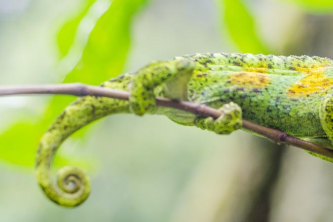
Rwenzori Mountains National Park protects the highest parts of the 120km-long and 65km-wide Rwenzori mountain range. The national park hosts 70 mammals and 217 bird species including 19 Albertine Rift endemics, as well as some of the world’s rarest vegetation.
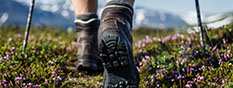
The Rwenzoris are a world-class hiking and mountaineering destination. A nine- to twelve-day trek will get skilled climbers to the summit of Margherita – the highest peak – though shorter, non-technical treks are possible to scale the surrounding peaks.
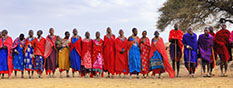
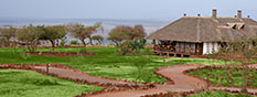
For those who prefer something a little less strenuous, neighboring Bakonzo villages offer nature walks, homestead visits home cultural performances and accommodation, including home-cooked local cuisine.